#SoilAndCulture: #ethnopedology and science. Can the soil be seen as an
artifact?
What are the implications
between a cultural landscape and the soil local knowledge in other cultures?
by Marta Laureanti
I
started to ask myself if the soil could be considered as an artifact.
What is the perception of the soil in contemporary cultures? Does exist soil local knowledge? In which way we could have
different approach to the recording strategy if we consider other categories of
knowledge, other instruments?
Some ethnopedological
researches gave me new inputs for my
questions. Ethnopedology is
the study of local knowledge about soils and their management, and in recent
times it has been increasingly
recognized for its contribution to the evaluation of land use in relation to
soil quality and sustainable agriculture. It covers a wide diversity of topics:
the formalization of local soil and land knowledge into classification
schemes, the comparison of local and
technical soil classifications, the analysis of local land evaluation systems,
and the assessment of agro-ecological management practices (Barrera-Bassols,
Zick, 2003).
As many studies in different part of the world have
demonstrated, in some cultures can be identified local
knowledge of the soil properties, often
based on qualitative characteristics of the soils: colours, stoniness, taste,
consistence (Bautista,Zinck, 2010; Wells & Mihok , 2004;
Ali, 2003; Barrera- Bassols , Zinck, Van Ranst, 2006; VanDerwarker, 2005;
Gray, Morant, 2003; Ryder, 2003; Wells & Mihok , 2004;
Saito,Linquist,Keobulapha,Shiraiwa,Horie, 2006; Adderley, Simpson,Kirscht,
Adam,Spencer,Sanderson, 2004).
For example The Maya soil classification (MSC) is a
natural system based on key properties, such as relief position, rock types,
size and quantity of stones, color of topsoil and subsoil, depth, water
dynamics, and plant-supporting processes. The MSC addresses the soil properties
of surficial and subsurficial horizons, and uses plant communities as qualifier
in some cases. It was demonstrated that the MSC was more accurate than the WRB (World Reference
Base for Soil Resources) for classifying Leptosols (Bautista,Zinck,
2010).
Such studies could suggest to the archaeologists that a
quantitative research isn’t the only way to collect the data. Integrated
approaches can allow more points of view and perspectives.
A topographical research in Netherland
has suggested that ancient names of portion of land showed a soil/land management
practices often governed by the biophysical position of the farms. On the
higher sandy areas soil fertility was a major constraint for sustainable
farming, whereas on the lower, clayey regions soil workability and water
management were important issues. The farmers applied their local knowledge of
the soil/land systems consistently and in a holistic manner (Siderius, De Bakker, 2003).
Another example is
constituted by the farmers of Damarpota in Bangladesh, which distinguish soil
types primarily on the basis of color, consistence, texture, organic matter
content, drainage, salinity, acidity, and fertility . They use indigenous
methods such as visual observation while tilling, tasting by tongue, feeling
and rubbing with fingers to determine various soil properties. Despite their lack of knowledge of soil
genesis and chemistry, it was observed that the farmers are highly knowledgeable in various
soil properties that affect crop cultivation (Ali, 2003).
Among some Mesoamerican community soil colour plays an important role in the recognition of soil
distribution patterns by farmers. In general, farmers relate soil colour to
elevation, slope gradient, vegetation and relief. Dark soils occur on high
elevations, forestland and valleys. Yellowish soils occur on slopes and in
plains, while reddish soils occur on washed steep slopes and in low-elevation
valleys (Barrera-Bassols,Zinck,Van Ranst, 2006).
What I am trying to say is that some scientific categories, such the only use of chemical analysis on the soil
doesn’t reflect the same level of knowledge that local inhabitants could have
by using other categories, and the same properties that they see could be not
represented by technical analysis.
Some studies were led on artificial mounds.
Colored soils seemed deliberately selected and deposited to create distinct
patterns of color (Sherwood & Kidder, 2011; Bernardini, 2004;
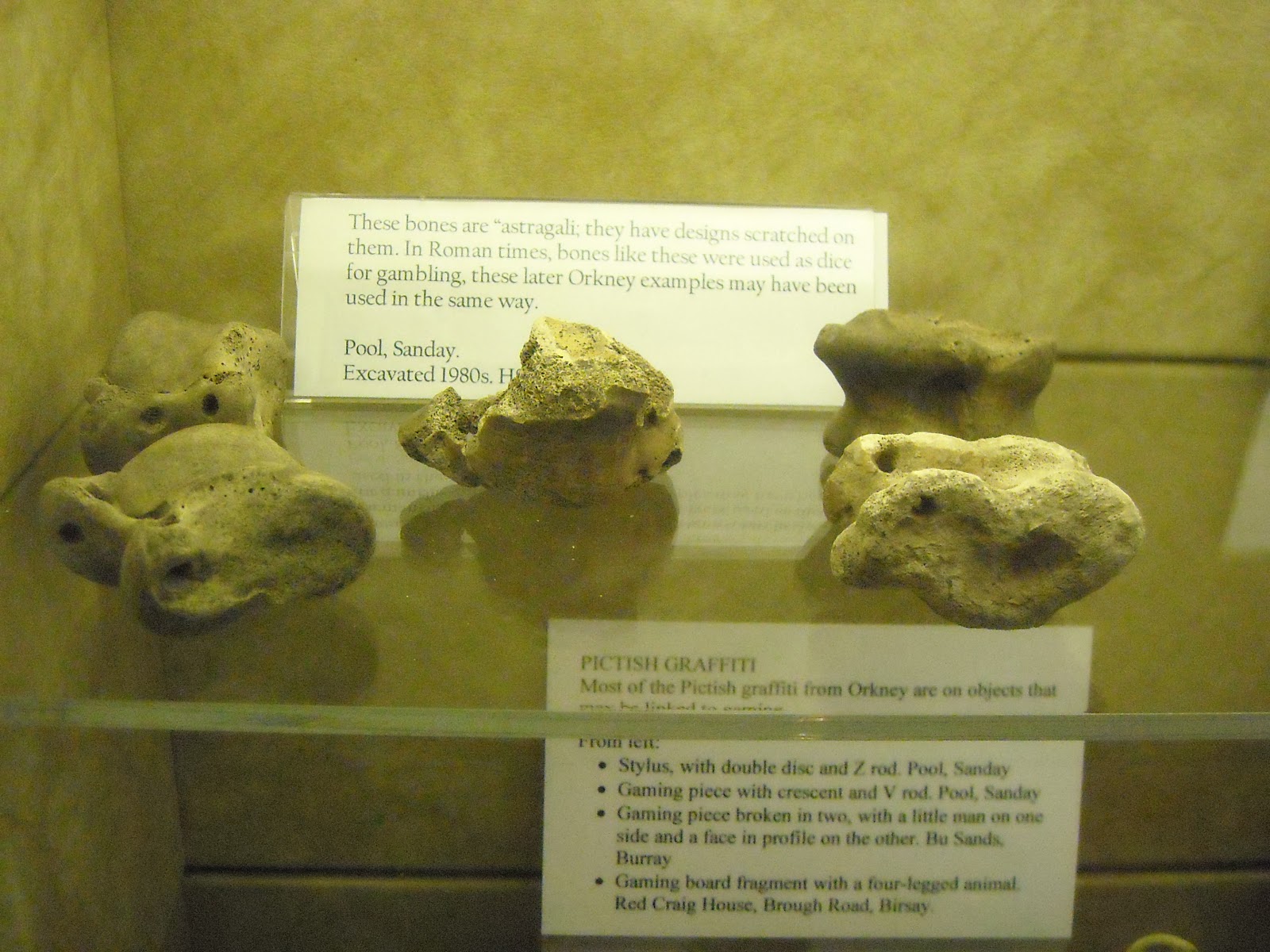
Johansen, 2004; Owoc, 2004; Papadopoulos, Bejko, Morris, 2008; Saunders, 2004). Besides excavations at Neolithic settlement
sites in Orkney have observed varied uses of cultural sediments (traditionally
referred to under the blanket term midden) as being incorporated into site
construction (Cluett, 2007).
Another example comes from the Mediterrean area. A study led at 84 temple of
classical mainland Greece, several Aegean islands and Cyprus on bedrock geology topographic
setting, compass orientation, soil profile and plant cover has revealed a
striking patterns between the soil and
vegetation and the dedication to
particular deities and cults (Retallack, 2008).
In an integrated research
led by archaeologists and anthropologist
at Mexican town of Cuentepec, it was demonstrated that studying
only the chemical characterization of the soils in some house at this village did not capture the whole
spectrum of activities recorded by the direct observations of behavior of the locals inhabitats. Translating this results on the archaeological
research, this
disjuncture prompted them to rethink human spatial behavior and the ways in
which chemical and residue data were analyzed and interpreted by
archaeologists. They realized that using multiple
chemical elements simultaneously to identify discrete spatial areas raised the
analytic ability to identify unique combinations or suites of chemical elements
in space(fig.3). This could provide
clues to the way space was socially used and structured (Dore, Lopez Varela, 2010).
Fig. 3 Display of the chemical data in color
after spatial analysis in one house in Cuantupec, Mexico (Dore, Lopez
Varela, 2010)
ML
References
Adderley,
Simpson,Kirscht, Adam,Spencer,Sanderson. (2004). Enhancing
ethno-pedology:integrated approaches to Kanuri and Shuwa Arab definitions in
the Kala-Balge region northeast Nigeria. Catena 58, 41-64.
Ali, A. (2003).
Farmers’ knowledge of soils and the sustainability of agriculture in a saline
water ecosystem in Southwestern Bangladesh. Geoderma 111, 333-353.
Anthwala, Guptab,
Sharmac, Anthwald, Kima. (2010). Conserving biodiversity through traditional
beliefs in sacred groves in Uttarakhand Himalaya, India. Conservation and
Recycling 54, 962-971.
Barrera- Bassols ,
Zinck, Van Ranst. (2006). Symbolysm, knowledge and managment ofsoil and land
resourcesin indigenous communities. Catena 65, 118-137.
Barrera-Bassols,
Zick. (2003). Ethnopedology: a worldwide view on the soil knowledge of local
people. Geoderma 111, 171-195.
Barrera-Bassols,Zinck,Van
Ranst. (2006). Local soil classification and comparison of indigenous and
technical soil maps in Mesoamercian community using spatial analysis. Geoderma
135, 140-162.
Barrett, J. C.
(1995). Some Challenges in Contemporary Archaeology. Oxford: Oxbow
Books.
Barrios,
Delve,Bekunda et alii. (2006). Indicators of soil quality: a
south-south-development of a methodological guide for linking local and
technical knowledge. Geoderma 135, 248-259.
Bautista,Zinck.
(2010). Construction of an Yucatec maya soil classification and a comparison
with the WRB framework. Journal of Ethnobiology and Ethnomedicine 6:7,
1-11.
Bender, Hamilton,
Tilley.(1997). Leshernick: Stone Worlds; Alternative narratives; Nested
Landscape in Proceedings of the PrehistoricSociety 63, 147-178.
Bernardini, W.
(2004). Hopewell geometric earthworks: a case study in the referential and
experiential meaning of monuments. Journal of Antrhopological Archaeology,
331-356.
Buchli &
Lucas. (2001). Archaeologies of the contemporary past. London & NY:
Routledge.
Card,Downes,Gibson,Ovenden.
(2007). Bringing a landscape to life? Researching managing "The Heart of
Neolithic Orkney World Heritage". World Archaeology 39, 417-435.
Carroll. (1995).
What the tortoise said to Achilles. reprinted on Mind vol 104, n.416,
691-93.
Cluett, J. (2007).
Characterising and interpreting cultural soils and sediment associated with
the Heart of Neolithic Orkney UNESCO World Heritage Site,. Stirling University: Unpubl. PHD thesis.
D'Avila. (1999). Il castello interiore.
Palermo: Sellerio.
Dore, Lopez
Varela. (2010). Kaleidoscopes, Palimpsests, and Clay: Realities and
Complexities in Human Activities. Journal Archaeological Method Theory 17,
279-302.
Driessen. (2010).
Farmers engaged in deliberative practices; an ethnographic exploration of the
mosaic of concerns i nlivestock agriculture. Journal of Agriculture and
Environmental Ethics.
Evans & Daly.
(2006). Digital Archaeology, bridging method and theory. London & NY: Routledge.
Feyerabend, P. (2002). Contro il metodo.
Milano: Feltrinelli.
Fisher. (2009).
Placing social interaction: An integrative approach to analyzing past built
environments. Journal of Anthropological Archaeology 28, 439-457.
German, L. (2003).
Historical contingencies in the coevolution of environment and
livehood:contributions to the debate on Amazonian Black Earth. Geoderma 111,
307-331.
Gray, Morant.
(2003). Reconciling indigenous knowledge with scientific assessment of soil
fertility changes i nsouthwestern Burkina Faso. Geoderma 111, 425-437.
Harris, E. (1989).
Principles of archaeological stratigraphy. London: Academic Press.
Historic Scotland.
(2008). Heart of Neolithic Orkney World heritage Site.
Hodder, I. (2000).
The archaeological process. Oxford: Blackwell Publisher Inc.
Johansen, P.
(2004). Lndscape,monumental architecture and ritual: a reconsideration of the
South Indian ashmounds. Journal of Anthropological Archaeology 23,
309-330.
Johns, C. (2009). Becoming
a reflective practitioner. Oxford: Wiley Blackwell.
Jones, A. (2001).
Drawn from Memory: the archaeology of aesthetics and the aestetics of
archaeology in Earlier Bronze Age Britain and the present. World
Archaeology, vol.33, No.2, 334-356.
Lima,M.(2011) Visual Complexity: Mapping patterns of
information. Princeton: Architectural Press.
Lopez Varela &
Dore. (2010). Social Spaces of Daily Life: a reflexive approach to the
analysis of chemical residues by multivariate spatial analysis. Journ
Archaeological Method Theory 17, 249-278.
Lucas, G. (2001). Critical
Approaches to Fieldwork. London & NY: Routledge.
Mc Fayden. (2008).
Building an architecture as landscape practice. In D. Thomas, Handbook of
landscape archaelogy (pp. 307-314). Walnut Creek: Left Coast Press.
Matthews, French,
Lawrence, Cutler, Jones. (1997). Microstratigraphic traces of site formation
processes and human activities. Worl Archaeologyv 29, 281-308.
Owoc, M. (2004). A
phenomenology of a buried landscape.Soil as Material Culture in the Bronze Age
of South West Britain. London: UCL.
Papadopoulos,
Bejko, Morris. (2008). Reconstructing the prehistoric burial tumulus of
Lofkënd in Albania. Antiquity 82 , 686-701.
Retallack, G.
(2008). Rocks, views, soil and plants at the temples of ancient Greece. Antiquity
82, 640-657.
Rousseau, J.
(2006). Le Confessioni. Milano: Garzanti.
Ryder, R. (2003).
Local soils knowledge and site suitability evaluation i nthe Dominican
Republic. Geoderma 111 , 289-305.
Saito,Linquist,Keobulapha,Shiraiwa,Horie.
(2006). Farmers' knowledge of soils in relation to cropping practices: a case
study of farmers in upland rice based slash-and -burn systems of northern
Laos. Geoderma 136, 64-74.
Sant'Agostino.
(2006). Le confessioni. Milano: Mondadori.
Saunders, N.
(2004). The cosmic earth materiality and mineralogy in the Americas. In O. M.
Boivin N, Soils, stones and symbols:cultural perceptions of material world
(pp. 123-142). London: UCL.
Shank &
Tilley. (1996). Social theory and archaeology. Cambridge: Polity press.
Sherwood &
Kidder. (2011). The Da Vincis of dirt: geoarchaeological perspectives on
Native American mound building i nthe Mississipi River basin. Journal of
Anthropological Archaeology 30, 69-87.
Siderius, De
Bakker. (2003). Toponymy and soil nomenclature in the Netherlands. Geoderma
111, 521-536.
Singh,
Agnihotri,Pande, Husain. (2011). Biodiversity conservation through a
traditional beliefs system in Indian Himalaya: a case study from Nakuleshwar
sacred grove. Environmentalist 31, 246-253.
Smith &
Edwards. (2004). The Garbage Crisis in prehistory: artefact discard patterns
at the Early Natufian site of Wadi Hammeh 27 and the origins of household
refuse disposal strategies . Journal
of Anthropological Archaeology 23,
253-289.
Stewart, T. (2003). I sentieri si tracciano
camminando. Milano: Corbaccio.
Thomas. (2008).
Archaeology, landscape, dwelling. In D. Thomas, Handbook of landscape
archaeology (pp. 8-26). Walnut Creek: Left Coast Press.
Tilley. (1989).
Excavation as theatre. Antiquity 63, 275-80.
VanDerwarker &
Peres. (2010). Integrating Zooarchaeology and Archaeofaunal data. New
York: Springer .
VanDerwarker.
(2005). Field cultivaltion and tree managment in tropical agriculture: a view
from Gulf Coastal Mexico. World Archaeology, 275-289.
Vattuone,Neder et
alii. (2008). Mothern Earth:soil and people relationships during the
prehispanic period (Northwest Argentina). World Archaeology Vol. 40(2),
190–205.
Wells & Mihok
. (2004). Ancient Maya, Perceptions of Soil, Land and Earth. In F. C. Landa
E., Soyl and culture (pp. 311-328). London: Springer.